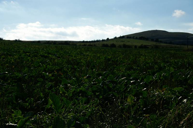
Humbleton Hill from Wooler.
Start. Wooler.
Route. Wooler - Burnhouse Road - Humbleton - Humbleton Hill - Humbleton - Burnhouse Road - Wooler.
Notes. This was an unplanned early evening walk between arriving in Wooler late afternoon and a table booked in the Milan restaurant for later that evening, Sue found a leaflet at the B&B so to hell with unpacking lets go walking. Humbleton Hill may not be very high but it can boast stunning views backed by a sizable chunk of history. The battle of Humbleton Hill was fought between the English and Scots in 1402, an unsuccessful bid by the Scots to gain high ground. The summit boasts a giant cairn possibly a burial mound surrounded by two rings of once impregnable ramparts, carefully constructed by Iron Age man over 1,500 years ago.
We casually wandered north along the busy high street before turning left onto Burnhouse Road, after passing the entrance to Highburn Caravan and Camping Park we reached a fingerpost inviting us to Humbleton. The path crossed the camp site heading for the northwest corner where a gate allowed access to a narrow tarmac lane. We turned up hill to enter the small hamlet of Humbleton, at the telephone box we entered a lane on our left, this we followed until a fingerpost pointed the way to Gleadscleugh, from here our route was way marked, yellow and white arrows marked the way. Keeping the fence to our left we wandered on, after the second gate the path swung left, here we begun the climb through a rather wide cleugh, a narrow valley cut by glacial melt water.
A short steady climb saw us standing on the summit soaking up stunning views in all directions, a table in the Milan restaurant awaited us back in Wooler, all too soon it was time to descend. From the summit the path descends to the west passing through a breech in the ramparts, we followed this green trod heading for a gate that allowed access to the lane we'd left earlier, a few hundred yards down the lane saw us re-tracing our steps back to Wooler.

Humbleton Hill seen from near the lane to Humbleton.
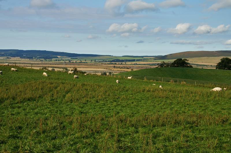
We've hardly started climbing yet, and we have views like this one over Glendale.
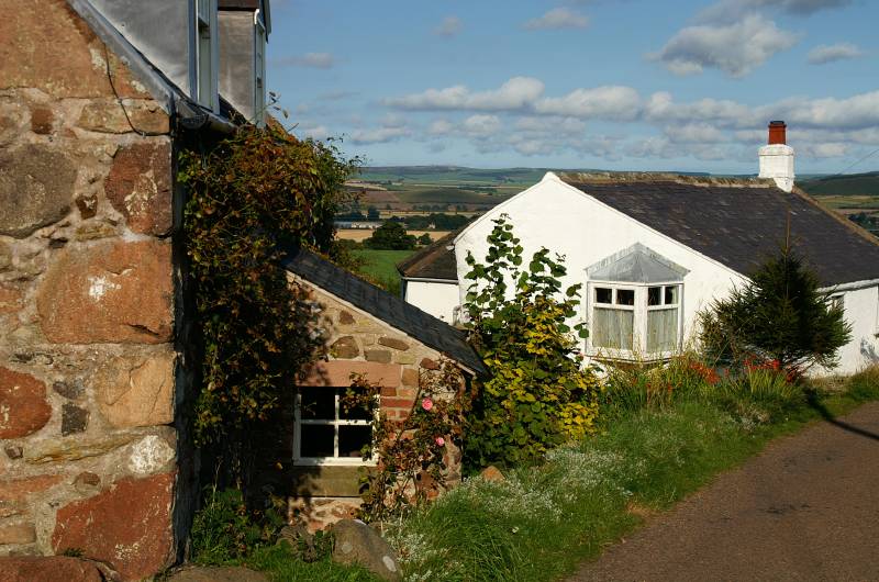
Humbleton village.
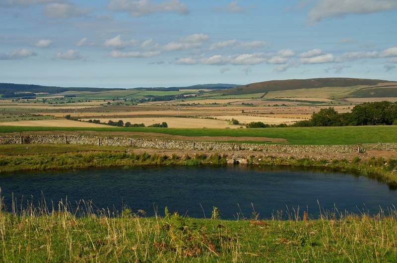
Doddington Moor seen over Glendale.
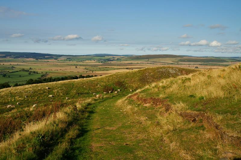
Ascending on an excellent path, looking back at the stunning view to the north.
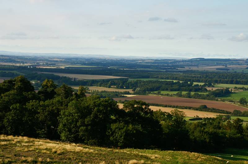
With a view like this what's the point climbing any higher.
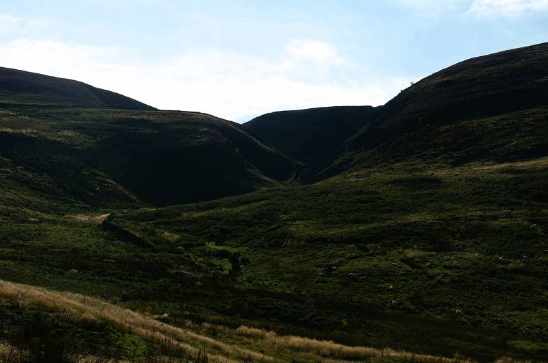
We're in the foot hills of the Cheviot's today a landscape of rolling grassy summits rising from deep cut cleughs, to the left the slopes of Gains Law the right Harehope Hill.
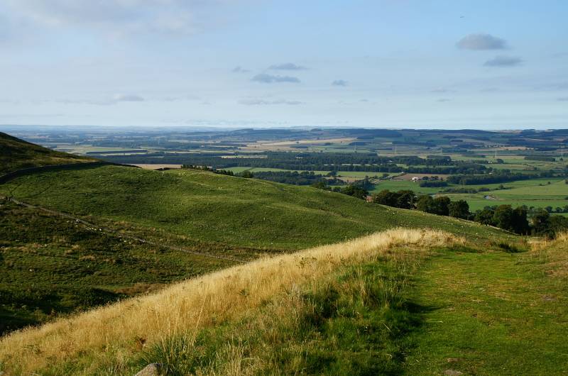
Gain a little more height and the views just get better....
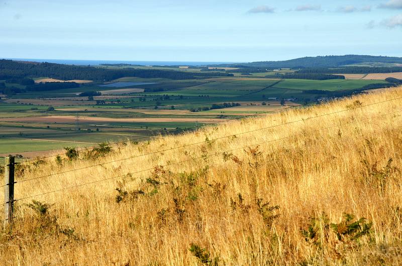
....a little higher and the North Sea tilts into view.
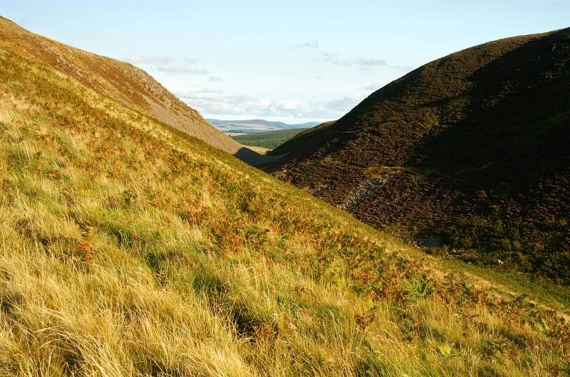
Views to the south through the deep cleugh cutting through Humbleton Hill, anyone for a Carlo theory, Humbleton derives from old English, "Hameldun" meaning cleft hill, viewed from Wooler that's exactly what you see, I may be completely wrong.
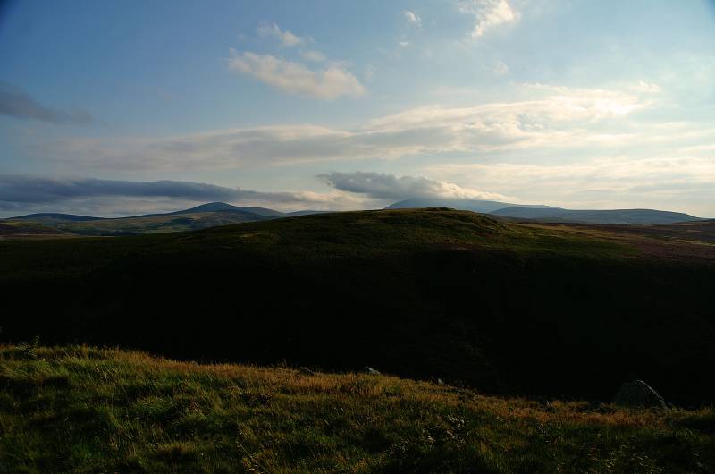
From near the summit of Humbleton Hill stunning views over the foot hills of the Cheviot Hills.
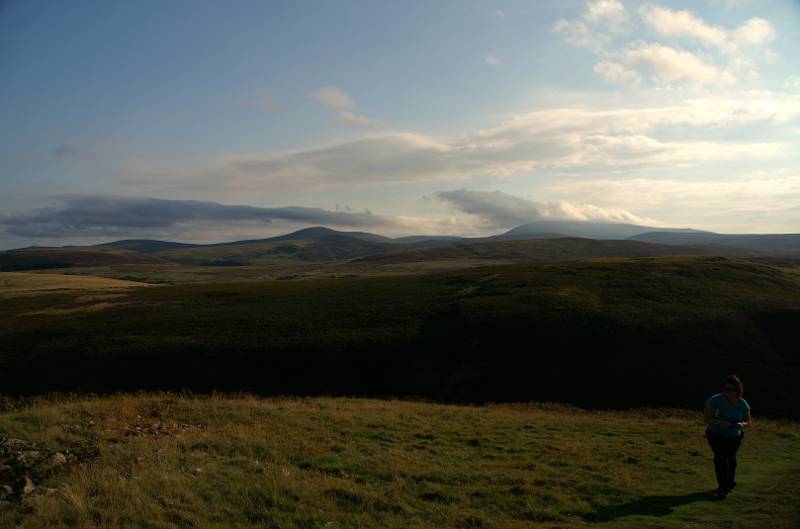
Sue strides out towards the summit.
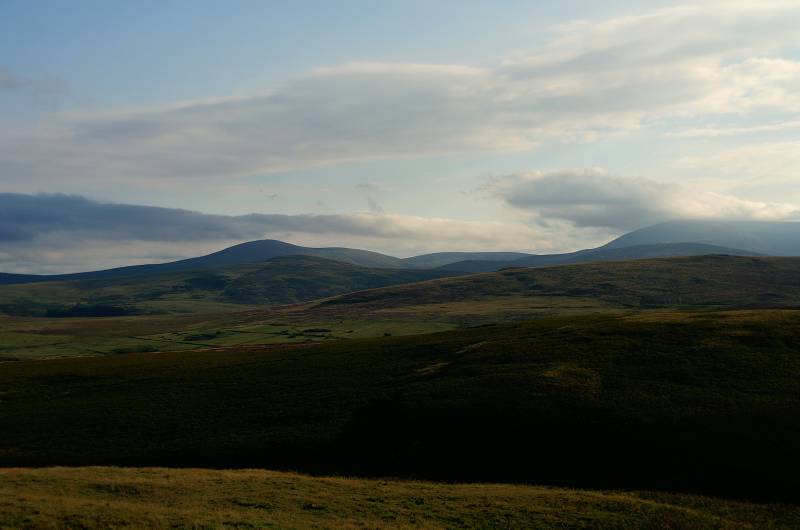
Another wonderful view from the summit, now I'm in hills I don't know a all, I might be wrong but I'd say the hill under cloud is The Cheviot....
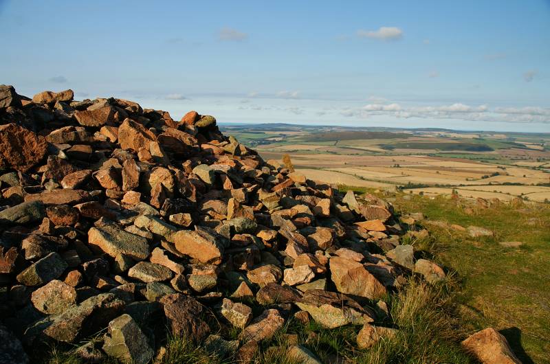
....what I do know is this is the summit of Humbleton Hill with a stunning view over Glendale and Doddington Moor.
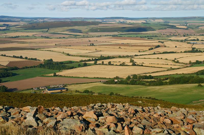
Seen from the remains of the ramparts on Humbleton Hill, Doddington Moor across Glendale, with Shepherdskirk Hill on the horizon hiding Holy Island.
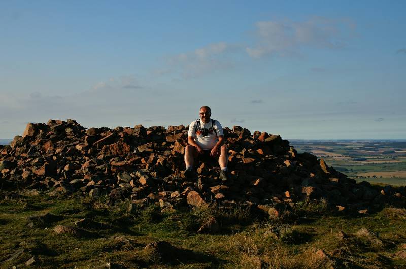
Yours truly on the summit Humbleton Hill.
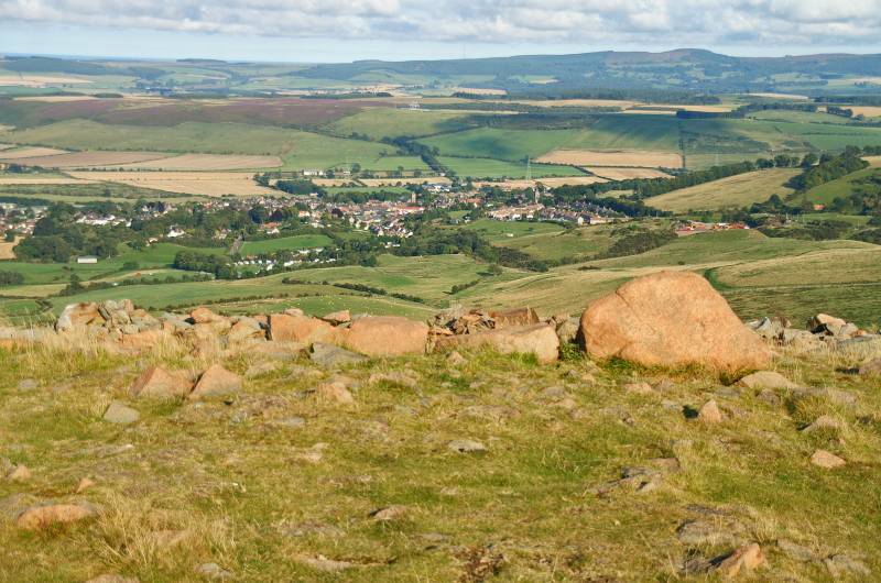
The rather small market town of Wooler nestles inconspicuous in Glendale.
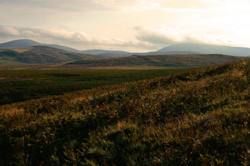
Descending Humbleton Hill looking to what I have now decided is The Cheviot, I'm sure somebody will drop me a line to tell me if I'm wrong.
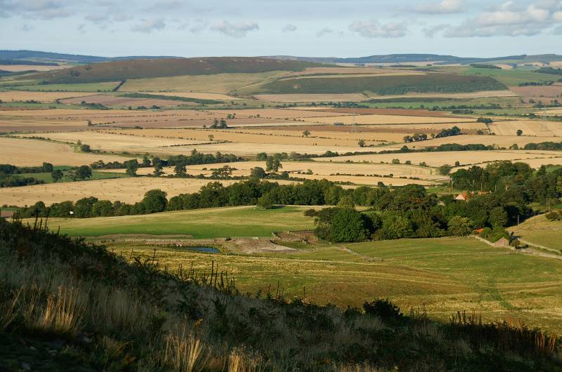
Doddington Moor seen over Glendale.
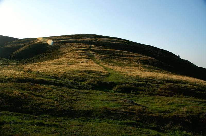
A final look back up the steep eastern slopes of Humbleton Hill, the sun's getting low in the sky, the shadows are getting longer and we're quite hungry, it's time to hunt out the Milan restaurant.